![]()
Answers
Frequently Asked Questions
Interested in our services, but have some specific questions about what we can do to help?
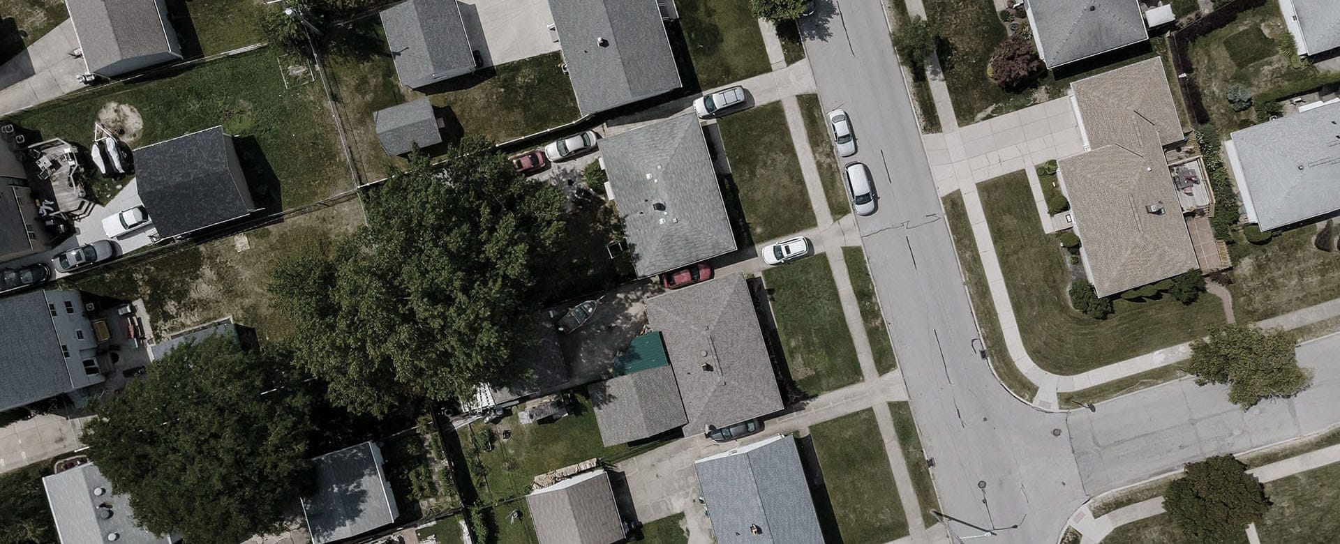
A surveyor collects precise measurements to determine property boundaries. Surveying is the profession of establishing or reestablishing property boundaries, the art and science of determining land features, improvements, and elevations relative to a scale drawing.
A Professional Surveyor in the State of Ohio is licensed and registered by the State Board of Engineers and Surveyors.
This is the definition the State Board gives:
Surveying shall mean any professional service performed for the purpose of determining land areas, the monumenting of property boundaries, the platting and layout of lands and sub-divisions thereof, including the topography, the alignment and the preliminary grades of streets, the preparation of: maps, record plats, field note records and property descriptions representing such surveys.
The result of every survey must be shown by the surveyor with a plat. The plat is a drawing you will receive from the surveyor.
Boundary retracements and lot split surveys, topographic surveys, ALTA Land Title Surveys, FEMA elevation certificates, mortgages, foundation surveys, subdivision plats.
Boundary – A retracement of your property showing the extents of our deeded property and the monuments used to show the establishment of your property corners. We can also write descriptions based upon the retracement survey to help you transfer the property.
Lot Split – Purchasing or selling part of a property. This survey will come with a new description you will use to transfer the split.
Topographic – A highly detailed map locating natural, man-made features and improvements and shows elevations and utilities.
Subdivision plats – A new division of lots from a larger tract of land, governed by local ordinances
Construction – Staking a new house, building, road, sewers, and other utilities.
ALTA Land Title Surveys – Highly detailed map, usually of commercial property, being a retracement of the existing deed and showing improvements upon the tract.
FEMA – Elevation Certificates and LOMAS. Is your lending institution telling you to get flood insurance and need an elevation certificate? We can provide you an Elevation Certificate or a LOMA – Letter of Map Amendment.
Easements – A specific use or right granted to someone over an others property. Does someone have the right to come on to your property for a specific use such as ingress/egress from their home? Does your sewer line run over your neighbor’s property?
Mortgage Survey – Meets the specific needs for the lenders in the State of Ohio and is NOT a boundary survey.
Vacation – This is for the abandonment of a street, alley, subdivision, or an easement.
It depends. There are a few variables that drive cost.
Records – Legal descriptions and existing surveys, some of these items may range from fair to great, some might be incomplete or contradictory to other records.
Field Evidence – Monuments such as iron pins or pipes, nails, and stones. The presence, absence, and locations of monuments aid the surveyor in his/her decision on determining the boundary.
Size and Shape – the size and irregular shapes will have a determination in the boundary lines. More lines in your boundary, the more surveyors will have to study those lines.
Terrain – What is your property? Is it a lot in town with lots of fences, utilities, and alleys? Is it a field with corn or beans? Is it woods with a stream running through the property? How easy is it to get to the corners?
Time of Year – Winter is great for some projects and bad for others. The same can be said about Summer and farming season. When vegetation is down, we can see further with our instruments. In the summer or during farming season we might not see as well due to the vegetation or crops. Digging in frozen ground is also rough.
You may need a survey for a variety of issues. Some may just want to know where their boundary lines are located. Here are some reasons you may need a survey.
Bought a house.
The deeded description of your tract of land is incorrect or incomplete.
Need to put up a new fence.
In a disagreement with the neighbor about where the property line is located.
Placing a new utility such as a new electric line in an easement.
The bank is requesting flood insurance and you don’t think you need it.
You want to buy or sell part of larger tract of land
Work With Us
We are committed to providing the service you expect in the time frame you need.